Aiguille du Moine
When you stand at the top station of the Montenvers train in Chamonix, France, you see two peaks standing out to the east: The Drus and the Aiguille du Moine, a little further south. The aiguille du Moine is a little smaller at 3412m and a little less steep than it’s neighbour but offers just as good a quality of rock in a setting that is very spectacular. The Aiguille du Moine is surrounded by famous peaks like the Grandes Jorasses, the Verte, the Drus, etc., located in the center of cirque called the “Talefre Bassin”. It is quite remote and therefore doesn’t get too busy.
Because it’s not too high in elevation and south facing, the south ridge of the Moine (read Monk) is quickly in condition. After a very wet month of June in the Alps, this seemed like a great option. Also, after celebrating a wedding until 3.30am the previous night (well, that morning), I was happy to “only” have to hike to the hut on the first day. I met Silke and Floriane at the Montenvers train and we rode the train to the top. The hike starts from the train station and climbs up the world famous “Mer de Glace” (read sea of ice), to some crappy moraine, up very steep ladders and then onward to the hut up a beautiful trail bordered by falshy pink rhododendrons. We arrived at the hut after 4 hours of hiking and quickly downed a nice slice of pie to recover from the effort.
I had done this climb twice before and hadn’t been back to this area. It’s funny how you forget approaches – how long they are -, the route itinerary, the gear you need to take, etc. It makes it even more of a pleasure to return to places, because it often feels like it’s the first time. We woke up at 4am and headed up to the base of the climb. I was shocked to how small the pocket glacier has become. That was quite a striking difference from when I was there last. That, I remembered!
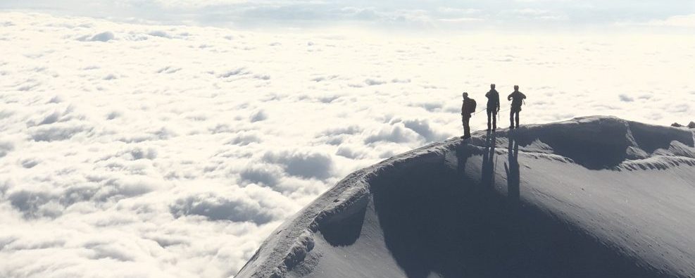
We climbed up the steep snowfield to the center of the south face of the Aiguille du Moine, where both the normal route and the classic south ridge start from. We left our crampons and ice axes there and headed up the very wet – almost riverlike – ledge system that climbs up the left hand side of the face to the south ridge proper. We were greeted by the sun, but only briefly as most of the route climbs up the the westerly side of the ridge. The climbing is up perfect granite and steep wide cracks, which are often polished from traffic. Yet today, we were all alone on the route, which added to the experience. The difficulties aren’t too sustained, but there are a few sections of 5.9 that we climbed in big boots. We enjoyed the summit to ourselves with Mont Blanc in the background, no wind and beautiful sunshine and blue skies.
But the climb isn’t over until you are at the hut. The descent route is quite tricky to find. There is lots of route finding and zigzagging through the maze of the south face. It was 2pm when we reached the bottom of the face and our last train was a 5.30pm. There was no way I was going to miss it, so I told the girls that we had to make a run for it. We quickly had a snack and some water and ran back down to the hut, repacked the bags and kept running down the trail, down the ladders, down the moraine, down the glacier, where we saw lots of people. I thought to myself: “what are these people doing? they should be running down to the train too?”, but I didn’t want to stop and ask, so we just kept going, until we reached the bottom of the ladders that take you up to the train. There, Silke and Floriane told me that they wanted to take a break. It was only 4.20pm and we had plenty of time ahead of us. Relieved, we took our time and slowly climbed back up to the ladders to the train, which took us down to Chamonix, saving us another 2hour descent!
[nggallery id=14]